
") English (UK)
English (UK)") Polski (PL)
Polski (PL) 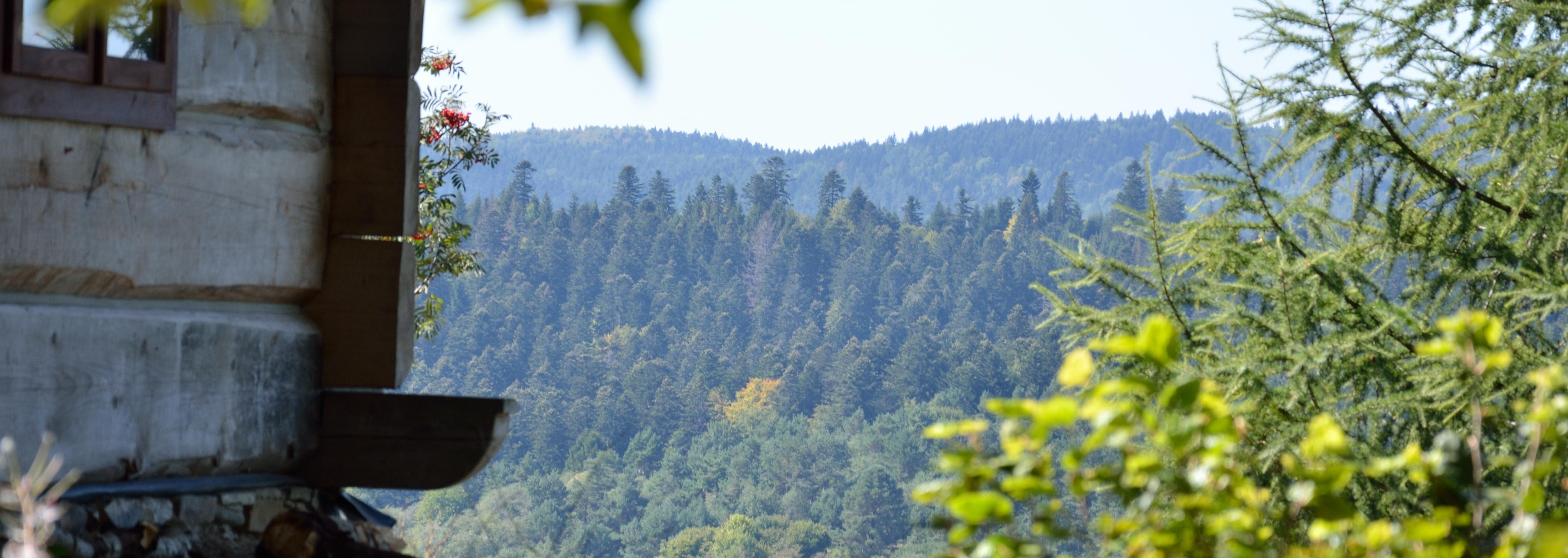
The Chalet beyond Smolnik has earned the rank of the highest airman's lodge in Poland, at whose walls pilots can anchor their flying vehicles overnight.
::: Operating and technical data
|
|
Feature |
Value |
|
1.1. |
The reference point
|
the middle of the airstrip |
|
1.2. |
Geographic coordinates of the reference point: a) latitude b) longitude
|
49°16’56’’N 22°07’13’’E |
|
1.3. |
Location relative to localities: a) Smolnik-centrum (the church) b) Komańcza c) Cisna d) Airstrip Bezmiechowa e) Sanok
|
From reference point: 2.1 km, 167°(SSE) 6.9 km, 329°(NNW) 17 km, 115°(SEE) 31 km, 41° (NE) 32 km, 5° (N) |
|
1.4. |
Elevation AMSL (in metres): a) NW end of the airstrip b) reference point c) SE end of the airstrip
|
582 600 615 |
|
1.5. |
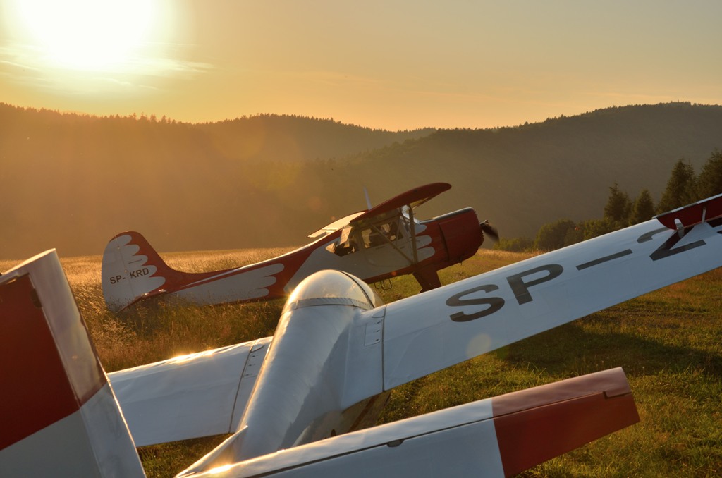
Usage of the airfield: a) type of flights, b) type of aircraft, |
training, sport, scenic, light piston aircraft (up to 5700 kg), gliders, hang-gliders.
|
::: characteristics of the airfield
|
|
Feature |
Value |
|
2.1. |
Airfield dimensions: a) length b) width
|
500 m 20 m |
|
2.2. |
Border markings: |
White corner and threshold signs, placed in the border of the grass surface of the airfield.
|
|
2.3. |
Markings of the touchdown area:
|
None, touch down at 40-50 knts in the area of the windsock, at 1/2 length of the airfield
|
|
2.4. |
Runway heading: a) start b) aproach
|
310° (downhill) 130° (uphill)
|
|
2.5. |
Surface:
|
grass
|
|
2.6. |
Type and location of devices: a) windsock
|
1/2 of the airfield legth, north side of the airfield
|
|
2.7. |
Characteristics of the foreground Obstacles: a) bush, 10 m above reference point
b) hill Jasieniowa (735m AMSL), 135 m above reference point Navigation reference objects: c) the valley of the river Osława, 100 m below reference point
|
300 m and at hdg 330° from reference point 2800 m and at hdg 325° from reference point,
> 400 m and at hdg 270°‑360°from reference point
|
::: flight operation procedures
|
|
Feature |
Value |
|
3.1. |
VFR flight at daylight, in weather conditions not worse then 3.1.1. Cloud base 3.1.2. Visibility 3.1.3. Wind speed |
800 m 3 km 10 m/s
|
|
3.2. |
Flight level |
above 800 m AMSL
|
|
3.3. |
Traffic pattern |
left at approach, right at takeoff (uphill touchdown, downhill takeof)
|
|
3.4. |
Flight approach routes: 3.4.1.North approach,
3.4.2.South approach,
|
From Rzepedź proceed along the river Osława untill airfield visibility is reached. Join airfield traffic at base leg, short final. From the centre of Smolnik proceed along the right bank of Osława, join airfield traffic at crosswind.
|
::: specific situations
|
|
Topic |
Description |
|
4.1. |
Emergency landing fields: 4.1.1.Smolnik, numerous and vast grass meadow and pasture areas including sites with surface suitable for landing 4.1.2.Turzańsk, vast grass meadow area including sites with surface suitable for landing
|
1–5 km, vector 140-250° from reference point
9–10 km, vector 10-20°from reference point
|
|
4.2. |
Instructions on resuming visual navigation : a) The valley of The Osława river: major valley several dozen kilometres long, running mainly S-N, with village Rzepedź in its mid-part with several meter high steel chimney of a wood processing plant and numerous three-storey blocks of flats. b) The railway Zagórz – Łupków: operational railway running 0-4 km west of the Osława river in all its length.
|
From Rzepedź proceed according to the north approach procedure.
At section Zagórz-Rzepedź the railway runs immediately by the Osława river. After resuming visual navigation south of Rzepedź proceed at no more than 4 km east of the railway resuming and maintaining visual navigation over the valley of the Osława river.
|
|
4.3. |
Alternate airfields and aerodromes: a) Bezmiechowa b) Iwonicz c) Krosno
|
From reference point: 31 km, 41° (NE) 48 km, 335° (NW) 53 km, 330° (NW)
|
|
4.4. |
Local restrictions: a) Frontier zone. Check AIP for current air traffic restrictions. b) Bieszczady National Park. Flights below 3400 AMSL prohibited
|
22-30 km from reference point, 95°-130°
|
::: radio aids
Frequency: 123.45
Call sign: Smolnik Traffic
::: radio navigation aids
None
::: medical emergency
Ambulance service Sanok or Cisna, call 997 or 112.
::: police
Komańcza, call 13 467 70 07, or 112.
::: fire service
Komańcza, call 998
Fire protection of the airfield area: 6 kg dry powder fire extinguishers inside main airfield service building.
::: communication with air traffic controls
|
Service |
Phone # |
Radio frequency |
|
AMC Polska |
22 574 57 33 to 35 |
None |
|
Kraków Info |
|
118.10 |
|
Rzeszów Tower |
|
126.80 |
::: communication with meteo service
Kraków forecasts, phone # 12 425 19 95
::: administrative info
|
|
Body |
Contact |
|
12.1. |
Owner of the area |
Radosław Szczeciński phone #: 502 202 033 |
|
12.2. |
Municipality |
Urząd Gminy Komańcza w Komańczy tel.(0-13) 467 70 18 |
|
12.3. |
Airfield operator |
Warsaw Aeroclub Warszawa Księżycowa 3 phone #: 22 834 61 79 aircraft section, training department |
|
12.4. |
Permanent staff – the host of the service building and ground service of the airfield
|
Current host Smolnik 49, 38-543 Komańcza phone #: 509 463 990 |
